About Us
Our Work
Get involved
Stay Updated
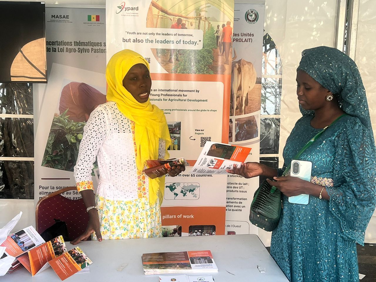
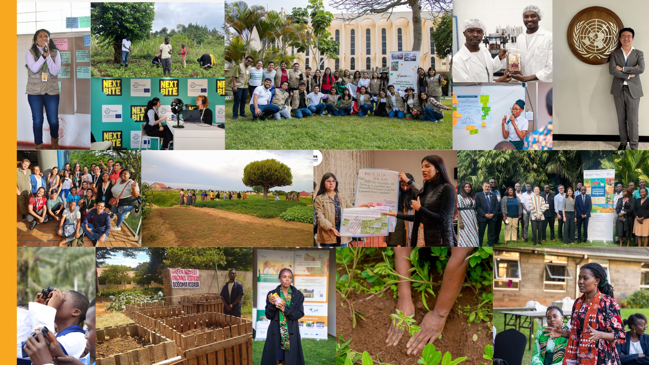
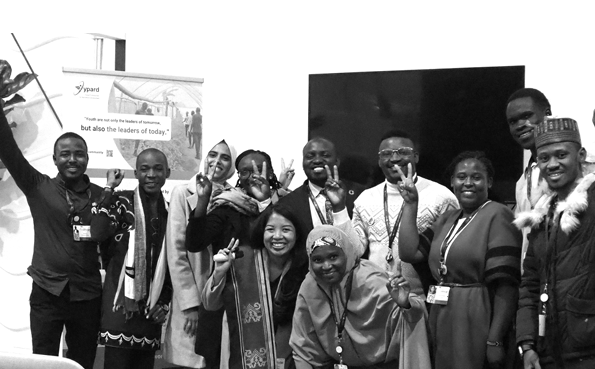
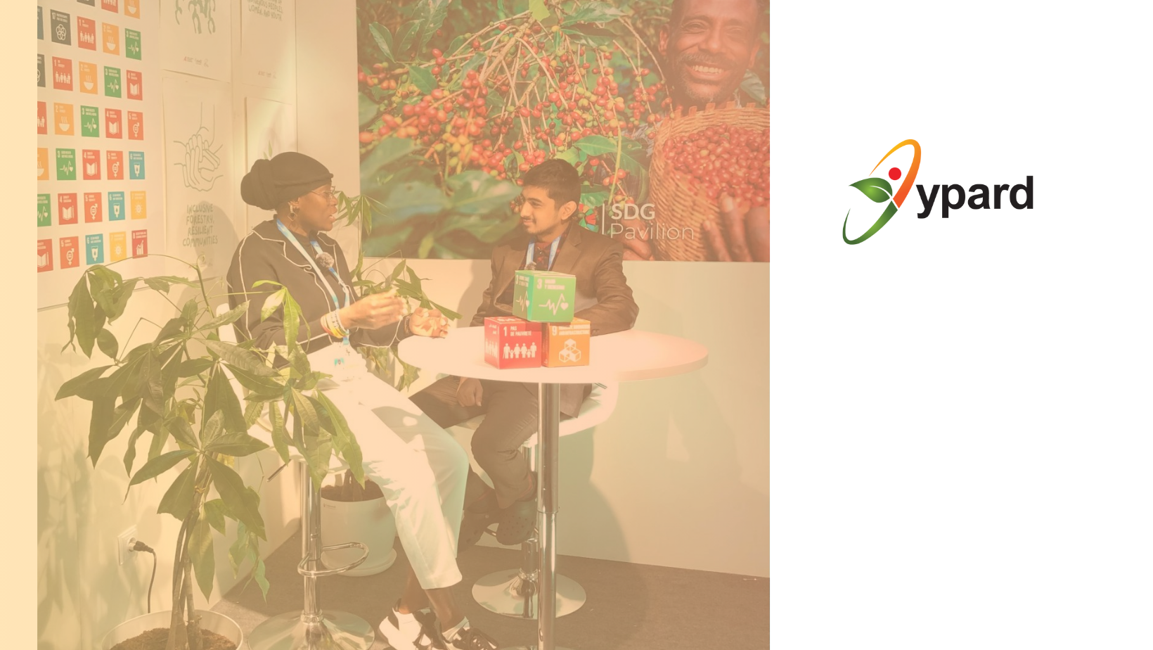
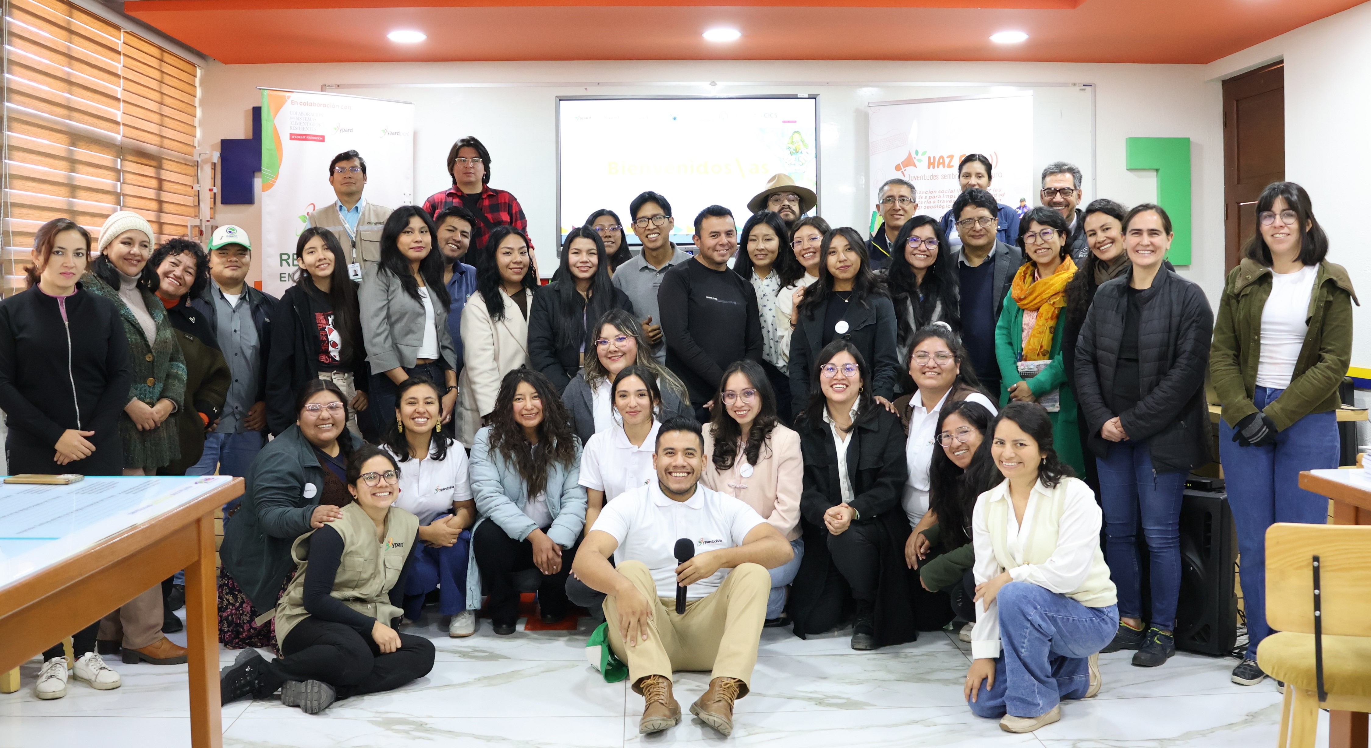
Here you can take a look at all our important announcements, read stories and experiences of YPARD members, learn about their projects, and more.
.jpg)

.png)
.png)

.jpg)
.png)
.png)
.png)
.png)


.jpg)

.jpg)

.jpg)

.png)
.jpg)
ikik.jpg)
.jpg)